[Tile-serving] [openstreetmap/osm2pgsql] Broken Sudan relation causes missing Egypt and Eritrea boundary relations (#926)
ImreSamu
notifications at github.com
Wed Apr 10 18:10:12 UTC 2019
> both the Egypt and Eritrea boundary relations were fine according to JOSM validator.
>So why were those missing as well? Is this a potential issue in osm2pgsql, or an issue with the Africa extract?
my suggestion: check the "Africa extract" first,
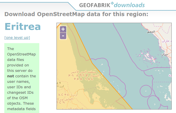
For example Eritrea - Geofabrik extract Poly - smaller than the admin_level=2 border
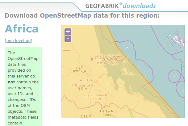
And the same - in the Africa Geofabrik extract Poly.
imho: for the borders ( admin_level=2 ) - the planet file is the best.
--
You are receiving this because you are subscribed to this thread.
Reply to this email directly or view it on GitHub:
https://github.com/openstreetmap/osm2pgsql/issues/926#issuecomment-481801785
-------------- next part --------------
An HTML attachment was scrubbed...
URL: <http://lists.openstreetmap.org/pipermail/tile-serving/attachments/20190410/f1b0ff96/attachment.html>
More information about the Tile-serving
mailing list